
Photography credits
The photographs on Hull Connect's public pages are public domain or Creative Commons, from Wikimedia Commons. The people who took them are named here, with the license each one is used under.
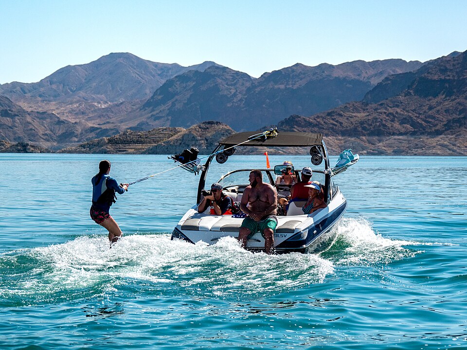 Wakesurfing on Lake Mead (4d95a357-94d5-493f-bbb6-24292524bd12)Andrew Cattoir (Lake Mead National Recreation Area) · Public domain
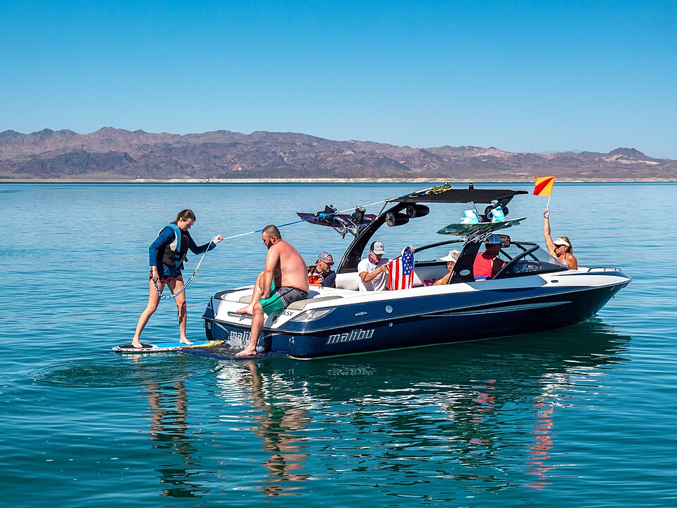 Wakesurfing on Lake Mead (6b729332-b1ee-41c0-b46d-244f961d4013)Andrew Cattoir (Lake Mead National Recreation Area) · Public domain
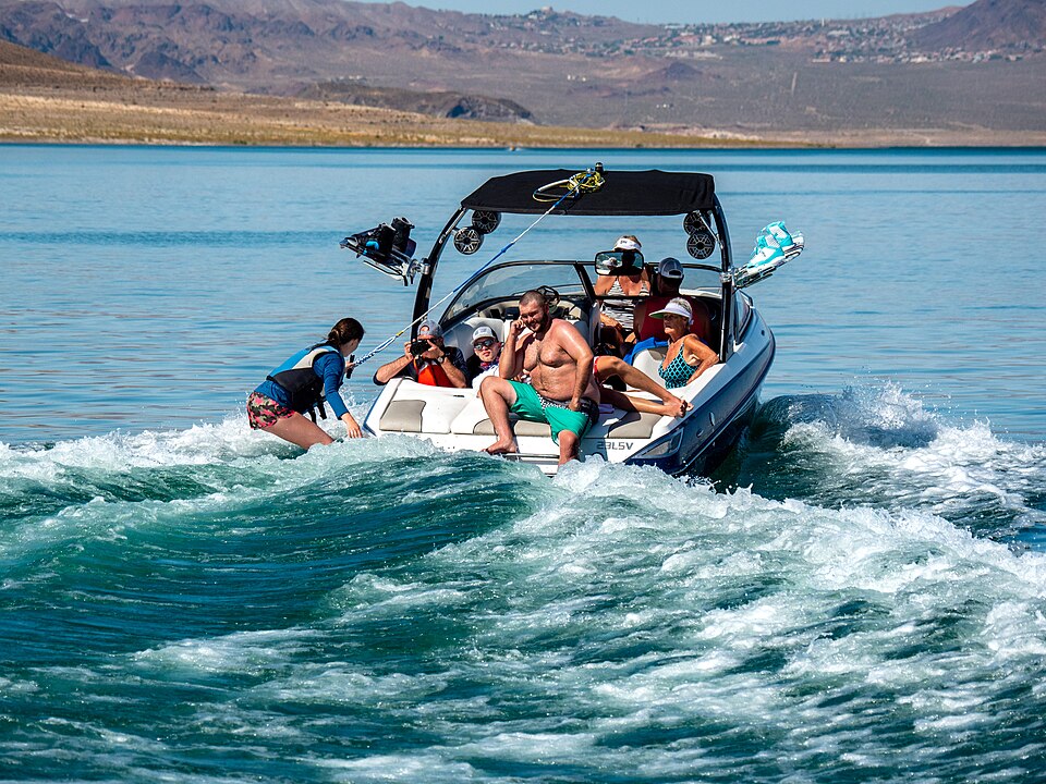 Wakesurfing on Lake Mead (0860e524-63be-42ad-b224-001b9e750118)Andrew Cattoir (Lake Mead National Recreation Area) · Public domain
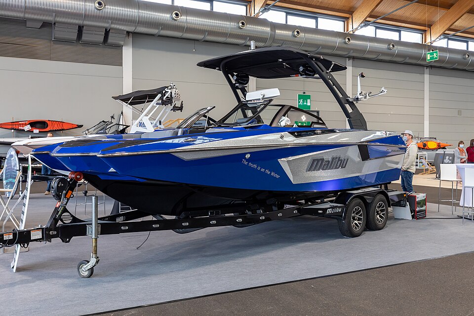 Malibu, Interboot 2020, Friedrichshafen (IB200183)Matti Blu · CC BY-SA 4.0
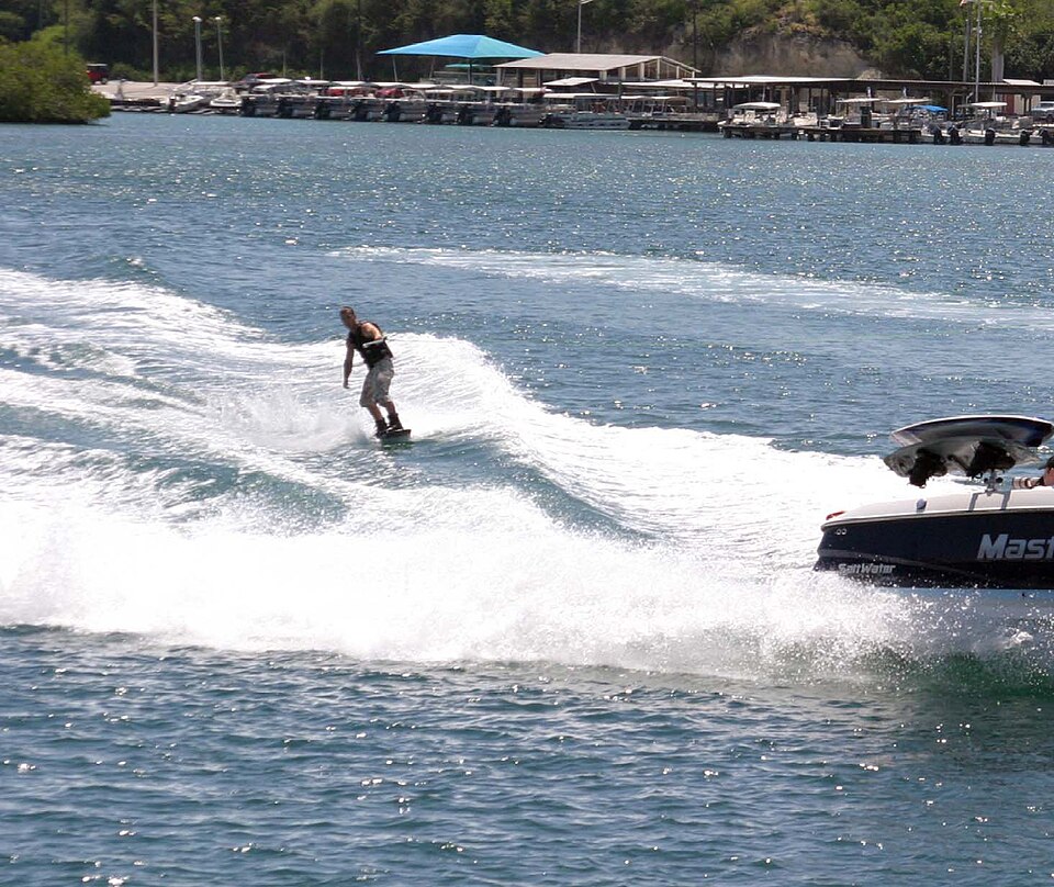 Wakeboarding, Guantanamo Bay 1MC1 Robert Lamb · Public domain
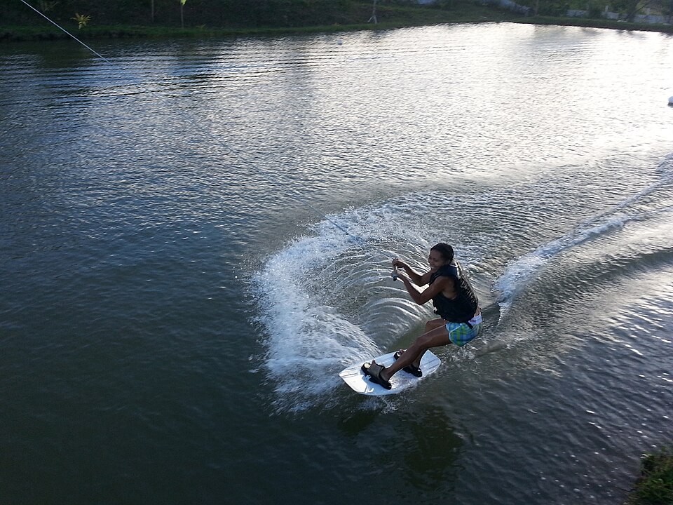 Cebuexclusiveholiday - panoramio (2)<a rel="nofollow" class="external text" href="https://web.archive.org/web/201610 · CC BY-SA 3.0
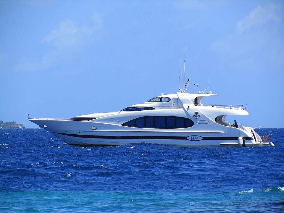 Arumaazu (5092280315)<a rel="nofollow" class="external text" href="https://www.flickr.com/people/5427 · CC BY-SA 2.0
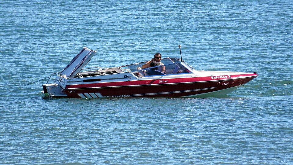 Speedboat offshore near Broadstairs, Kent, EnglandAcaba · CC BY-SA 4.0
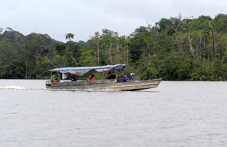 Voadeira200802WilsonDiasAgenciaBrasilWilson Dias/Agência Brasil · CC BY 2.5 br
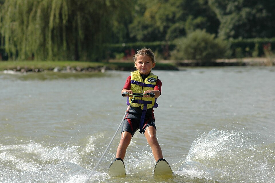 Bi-ski<a href="//commons.wikimedia.org/w/index.php?title=User:Alizeewaterski&actio · CC BY-SA 4.0
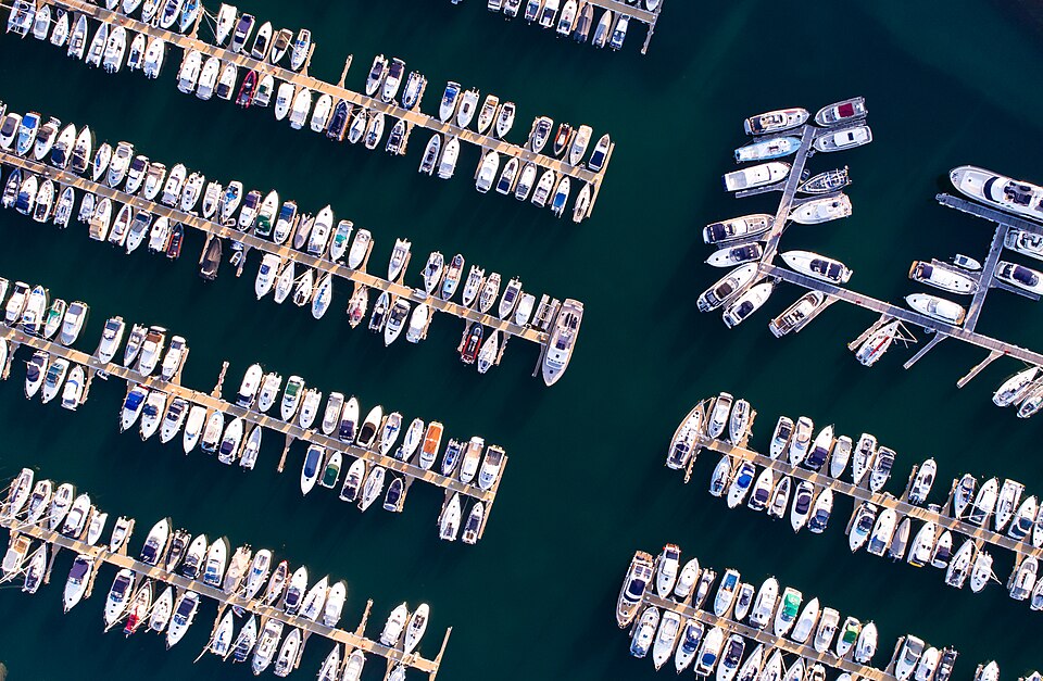 Aerial view of a marina (Unsplash)Enrapture Media <a rel="nofollow" class="external text" href="https://unsplash.c · CC0
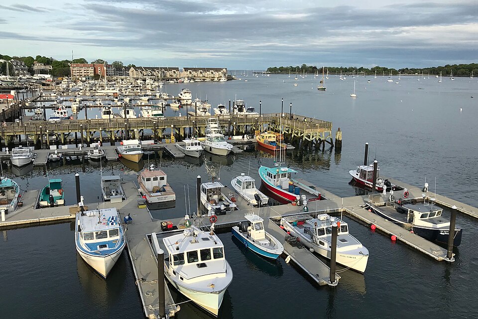 Beverly Port Marina<a href="//commons.wikimedia.org/w/index.php?title=User:Fletcher&action=edit · CC BY 4.0
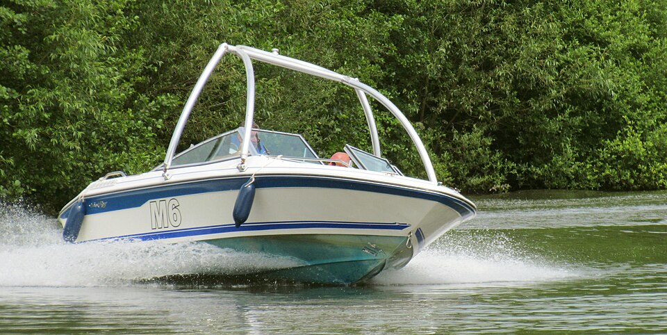 Speed Boat (14450970825)<a rel="nofollow" class="external text" href="https://www.flickr.com/people/2493 · CC BY 2.0
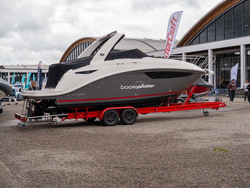 Interboot 2023, Friedrichshafen (P1120839)Matti Blu · CC BY-SA 4.0
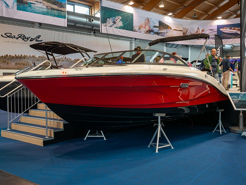 Sea Ray, Interboot 2023, Friedrichshafen (P1120773)Matti Blu · CC BY-SA 4.0
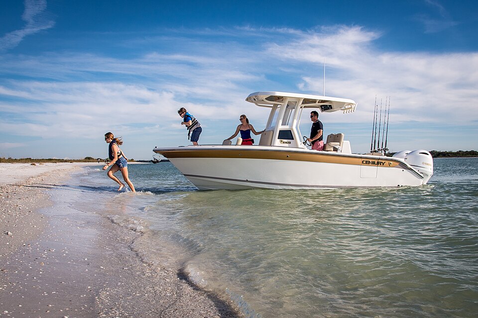 Century 2400 CC<a href="//commons.wikimedia.org/w/index.php?title=User:CenturyBoat&action=e · CC BY-SA 4.0
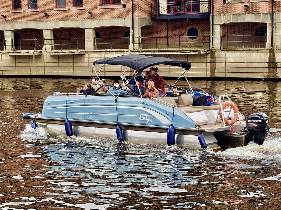 Enigma 26 (York Marina) Apr26 01Malcolmxl5 · CC0


Map data
Where each ZIP code and town is, for the search near a ZIP code, comes from GeoNames, used under the Creative Commons Attribution 4.0 license, and from the US Census Bureau's Gazetteer, a public record. Positions are rounded to about half a mile, and a town is placed at the middle of its ZIP codes.